
Corsica is meant to be ridden slow and planned well in advance. How the island works for a motorcyclist, what's changed on its roads over the last two years, and where to start depending on whether you're heading north or south.
Between Ajaccio and Bastia, it's 147 kilometers. Count on nearly three hours of riding.
That's the number to keep in mind before you plan anything. In Corsica, distance means nothing: it's the terrain that calls the shots. A rider who plans days by the kilometer ends up riding in the dark.
Here's how the island is laid out, what's shifted on its roads over the last two years, and where to dig deeper depending on which part you're targeting.
How the island is organized
A mountain range cuts Corsica diagonally, from northwest to southeast. Everything flows from that. The two departments, Haute-Corse in the north and Corse-du-Sud in the south, turn their backs on each other on either side of this ridge, and the roads connecting them go through mountain passes.
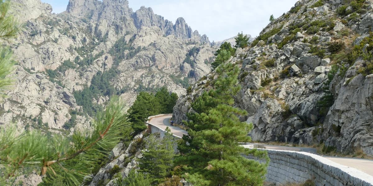
The main one is the Col de Vizzavona, at 1,163 meters, on the T20 (the Ajaccio-Bastia axis). It's the most-traveled pass on the island, and it marks the precise boundary between the two departments. Further west, the Col de Vergio, at 1,477 meters, is the highest road pass in Corsica and tips you over from the Niolo valley toward Évisa and the Gulf of Porto.
On the coast, the D81 structures the entire western face, from Ajaccio to Bastia via Calvi. Between 230 and 240 kilometers depending on the source, and a road number that disappears and reappears along the way: it becomes the N197, then the N1197 on certain sections. That's not a GPS glitch.
One last vocabulary note, because this causes confusion everywhere. Since 2014, the old national roads in Corsica became territorial roads. The former RN193 is now the T20, the former RN198 is the T10, the former RN196 is the T40. Signs show the new numbers; plenty of maps and GPS units still show the old ones.
The roads of the north
Haute-Corse comes down to six roads.
The loop around Cap Corse on the D80, with its two completely different sides: wide and fast-flowing on the east, clinging to the cliff on the west. The Scala di Santa Regina gorge and the Col de Vergio on the D84, carved out of granite above the Golo river. The Col de Sorba and the Fiumorbo gorges on the D69 and D344, which most articles overlook because they're far from the beaches. The crossing of the Agriates desert between Calvi and Saint-Florent. The artisans' road through the Balagne on the D71, the least technical and most laid-back of the bunch. And the Restonica valley, which is nothing like what the guidebooks still say it is.
The roads of the south
Corse-du-Sud comes down to five.
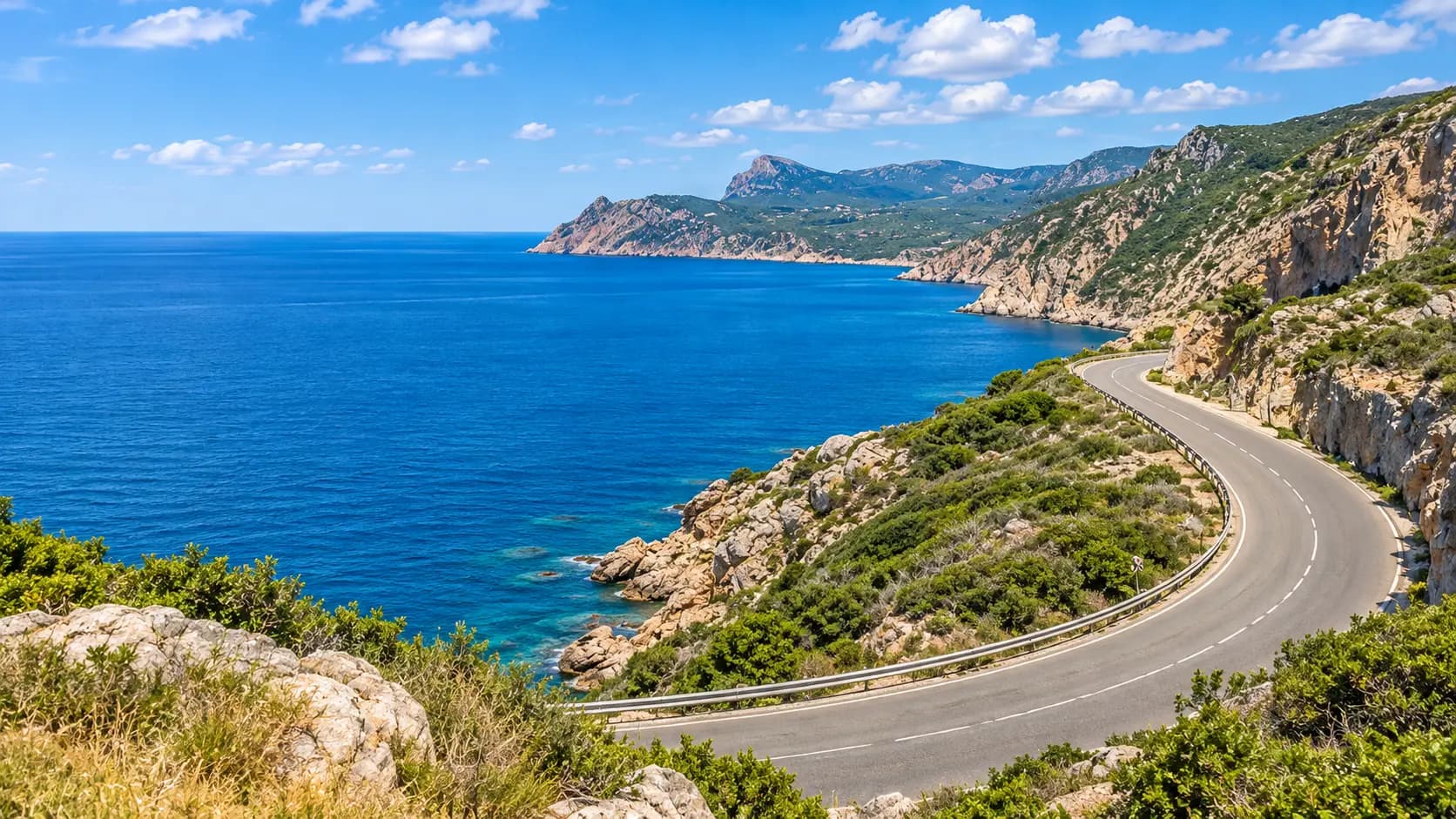
The D81 from Ajaccio to Porto through the Calanche de Piana: UNESCO-listed, narrow, and jammed solid in the height of summer. The D268 from Solenzara to the Col de Bavella, climbing from sea level to 1,218 meters in about thirty kilometers. The continuation of that same D268 heading west, through the Alta Rocca, via Levie and Sainte-Lucie-de-Tallano. The D368 from Porto-Vecchio to Zonza through the Ospedale forest, which most ride lists skip in favor of the east coast. And the T40 from Propriano to Bonifacio via Sartène and Roccapina, through a dry, mineral backcountry that looks like nothing else on the island.
Those last three loop back from Porto-Vecchio, and it makes for the best day's riding in the south.
What's changed, and what a lot of guides haven't caught up with yet
Three situations have evolved recently and are still circulating in their old form across online itineraries.
The Restonica is no longer a motorcycle road. Storms Ciarán and Domingos in November 2023 took out the Tragone bridge, and motorized access now stops at the sixth kilometer, at the Tuani area. Beyond that, it's the shuttle: line C13 from Corte train station, from early May through late September. Then fire got involved: in July 2026, a lightning-sparked blaze burned through roughly 1,000 hectares in the valley, took eighteen days to contain, and the valley only reopened at the end of that month.
The Bavella massif closes in summer. In July 2026, two prefectural orders closed the Bavella and Illarata massifs, with the RD 268 shut to traffic and a detour via the T10 and D368. The same scenario had played out the previous summer during the Quenza fire. These closures come without warning and last as long as the risk does.
Bavella's canyons are regulated. Access to the Purcaraccia is banned for unguided visitors under a prefectural order renewed every year since 2021, following several fatal accidents, and an order from the commune of Quenza extends the restriction to the Pulischellu and the Vacca. Gendarmerie checkpoints operate on-site and violators are fined. You'll still find plenty of articles presenting these pools as a local insider tip.
On top of that, there's actually some good news. The northern exit from Bastia toward the cape, between Ville-di-Pietrabugno and Miomo, had gotten seriously bad. Local officials even flagged it as dangerous for two-wheelers due to potholes. Those five kilometers are getting a full road resurfacing through November 19, 2026.
The habit to build in July and August: check the status of the massifs every morning before locking in your day. The prefecture publishes closure orders, and the Corsican regional authority has webcams online covering the mountain routes.
A day scrapped on Bavella can be replaced. A day spent riding back because you hit a barrier can't.
When to go
April through June and September through October. The roads are clear, the heat stays manageable, and you can find accommodation without booking three weeks out.
July and August are still doable, but they change the nature of the trip. Motorhomes in the bends of narrow roads, viewpoint parking lots full before ten in the morning, fire risk at its peak, and massifs that can close overnight. In winter, the passes stay passable, but snow and ice show up above 1,000 meters, and the north face of a pass can still be frozen while the south side is bone dry.
How much time to allow
A full loop of the island is commonly done in a week. But the right question isn't the number of kilometers. It's your average speed.
Go back to the number at the start: 147 kilometers in nearly three hours between Ajaccio and Bastia, barely over 50 km/h on the island's best road. On the interior routes, you'll be well below that, stops not included.
On a short trip, you'll get far more out of picking one department and riding it properly than rushing a full loop. The north and the south each stand on their own.
Where to sleep with the bike
Corsica is best ridden from two or three bases, never from a single fixed point. The massifs are compartmentalized and the roads eat up time.
In the north, Bastia opens up the cap, Corte commands the whole interior, Calvi and Île-Rousse cover the Balagne and the Agriates. In the south, Porto and Piana sit at the foot of the Calanche, Solenzara and Sainte-Lucie-de-Porto-Vecchio at the foot of Bavella, Propriano and Olmeto on the Valinco and the road to Bonifacio.
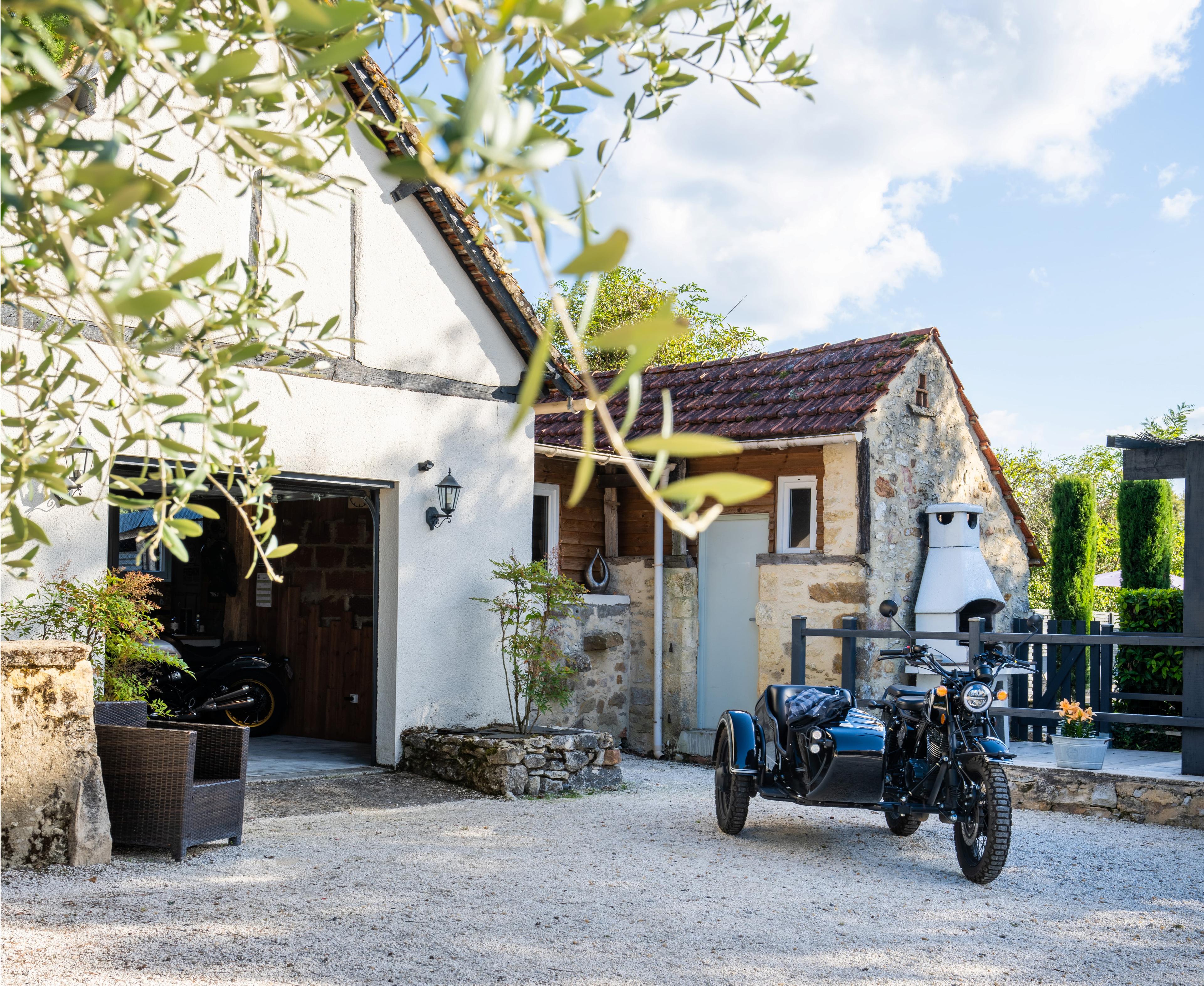
Across each of these areas, Bivo Moto lists motorcycle-friendly accommodation with real secure parking: private parking, enclosed parking, or a locked garage. The security level is shown on the listing before the room photos, so you can choose without having to call ahead and ask.